
Tonight, we’ll continue to see a few snowflakes fly this evening but that will start to change as high pressure builds in. The lowlands will be the first to see snowflakes diminish out and then eventually the mountains by the early morning hours on Sunday. Watch for refreezing on the roads where icy spots can reform, especially on secondary and untreated roadways. It will also help to bundle up tonight if you need to head outside with overnight lows in the teens!
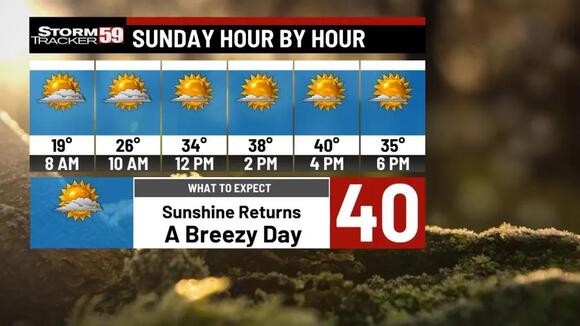
Sunday will be a cold and icy morning in some spots so careful on the roads if you want to travel out to morning church services. High pressure will continue to build in, allowing clouds to go from partly sunny to mostly sunny by dinnertime, and helping temperatures get near 40 degrees. It will be a breezy day, with wind gusts of at least 20 mph in the lowlands and 30 mph in the higher terrain, a good bet at times.
Monday looks to be a great start to next week, once we get passed the morning with temperatures in the 20s. We’ll eventually see those temperatures rise into the 40s thanks to high pressure nearby. Combine that with mostly sunny skies, any outdoor activities look to be in good shape.