
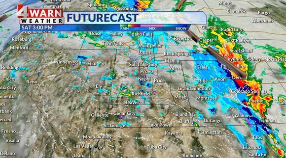
SALT LAKE CITY ( ABC4 ) — Happy weekend, Utah! Wet weather lingers into the weekend, mainly overnight Friday into Saturday, and things quiet down for a brief break Sunday.
Mixed precipitation to light snow showers are expected for some valleys, isolated in nature, through Saturday afternoon. While our Winter Storm Warning expired in the Southern Utah mountains early this morning, our Winter Weather Advisories for the upper Sevier Valleys, Bryce Canyon Country, and eastern portions of Juab & Millard Counties, as well as our Northern and Central Mountains including the Wasatch and Western Uintas hold on through 5 p.m. Also, the Winter Storm warning for the La Sal & Abajo Mountains in SE Utah will last until Saturday evening as well.

Heavy snow in the mountains in Southern Utah caused avalanche danger to spike to the high category as an avalanche warning was issued for the area through this morning. Even without an active warning, the region received a lot of heavy, wet, dense snow in a short period of time, so backcountry travel is not advised. Know before you go! Precipitation totals have been nothing short of impressive with several cities receiving close to or over an inch of precipitation since Thursday. Rain broke records in St. George and Capitol Reef National Park. Mountain snow showers will linger through the evening, and when all is said and done, mountain valleys will end up between a skiff to 3″ while valleys and benches boast great rain totals with some bench areas picking up some light snow accumulations.